


Juniper Uinta Software
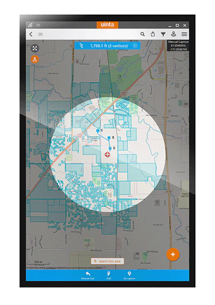
Uinta enables users to map assets with customizable project templates to ensure each capture includes the information essential to the job.
- Description
Description
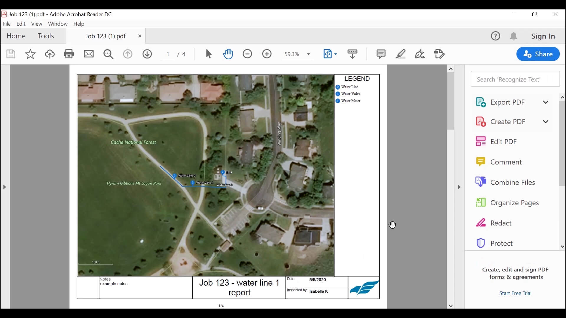
With Uinta, field data collection has never been easier. Our intuitive software allows users to effortlessly gather accurate data using customizable forms and real-time GPS integration ensures that your data is not only accurately mapped but also easily accessible for further analysis and reporting. Whether you are conducting environmental surveys, managing assets, or performing inspections, Uinta’s user-friendly interface helps you capture critical information quickly and accurately. The software supports a wide range of data types, including text, photos, and geospatial coordinates, making it versatile enough to handle any project. Cloud storage back-up allows you to save your data in a more accessible place, and when you are offline, Uinta saves your data locally and will upload once connection is reestablished.
Uinta’s versatility makes it an ideal solution for a wide range of industries. Environmental scientists can track wildlife and vegetation, utilities can manage infrastructure, and mines can monitor activities for safety adherence. Available for Windows, Android, and Apple iOS, the adaptability of Uinta ensures that it can be customized to meet the specific requirements of your field, providing you with a powerful tool to enhance your data collection and mapping efforts.


