

Allegro Wireless Keyboard
Allegro Wireless Keyboard is a Juniper Systems solution for long-form notes, asset identifiers and repetitive field input. Physical QWERTY input for frequent field data…
A compact 7-inch Windows platform for field applications. Compare configurations and plan the right setup for your crew.
 JUNIPER SYSTEMS
Keep data collection in hand with an Android handheld built for outdoor workflows, long shifts and repeated observations.
 JUNIPER SYSTEMS
Bring single-frequency GNSS positioning into your field workflow. Connect your mobile device and plan the right mapping setup for your project.
 JUNIPER SYSTEMS
Allegro Wireless Keyboard is a Juniper Systems solution for long-form notes, asset identifiers and repetitive field input. Physical QWERTY input for frequent field data…
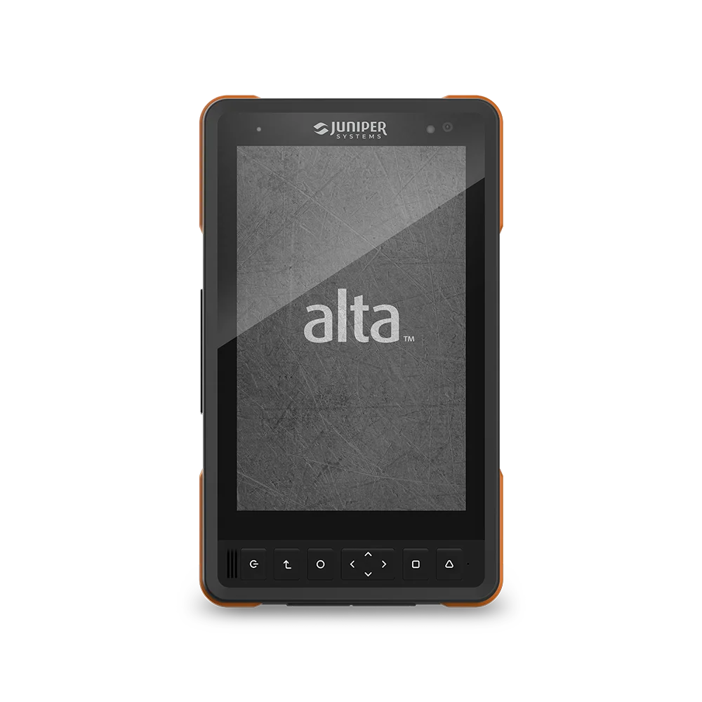
Alta Rugged Tablet is a Juniper Systems solution for asset inspections, construction documentation and field reporting. An 8-inch Android platform for mobile field teams.…

Archer 4 GNSS Expansion Pod is a Juniper Systems solution for one-handed GIS mapping with an Archer 4. Add network RTK capability to an…

Archer 4 Rugged Handheld is a Juniper Systems solution for utility inventory, environmental records and repeated field observations. Android data collection in a compact…

Geode GNS3H GNSS Receiver is a Juniper Systems solution for GIS asset mapping, infrastructure location and environmental surveys. Multi-frequency GNSS with RTK and Galileo…

Geode GNS3S GNSS Receiver is a Juniper Systems solution for GIS asset mapping, infrastructure location and environmental surveys. Single-frequency GNSS for straightforward mobile mapping.…

Choose a computing platform, connect the right receiver and plan how your field data reaches the office. AMS helps you scope equipment across rugged computing, GNSS and mapping software.
Tell us what you need to collect, where you work and which applications you use.
Advanced Mapping Solutions supplies the Juniper Systems range (rugged handhelds, tablets, GNSS receivers, Uinta software, Juniper RTK) from Oakville, Ontario, on a quotation basis.
Sub-meter (e.g. Geode GNS3S, 30 cm SBAS) suits most GIS asset inventories. Centimetre work (as-builts, stakeout) needs RTK — Geode GNS3H, Spire, or an Archer 4 with GNSS Pod plus a correction service such as Juniper RTK.
Choose sub-meter when the deliverable tolerates roughly 30 cm error and simplicity matters; choose RTK when records must be relocatable to centimetres or shared with survey-grade data. Sub-meter data can’t be upgraded later — you’d re-map.
Geode and Spire receivers pair over Bluetooth with iOS, Android and Windows devices and output NMEA for third-party apps like Esri Field Maps (via Juniper Connect).
Use any product’s Check Availability & Pricing button or the Request a Quote page; AMS confirms configuration, availability and project pricing in the quote.
EQUIPMENT SOURCING & COMPETITIVE PRICING
Looking for specific surveying equipment? Send us the make, model, and quantity you need. We’ll work to locate the right products, confirm availability, and find the most competitive pricing for your order.
Don’t see it on our website? Ask us—we’ll help track it down.
All fields are required. *